


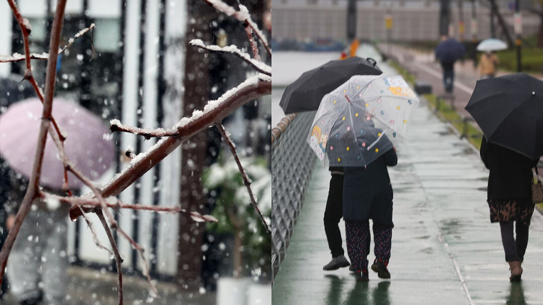
SEOUL — South Korea is bracing for a notably warmer and wetter winter season this year, driven by what meteorologists are calling a historically powerful El Niño phenomenon, according to the Korea Meteorological Administration (KMA).
Data released by the weather agency indicates that sea surface temperatures in the equatorial Pacific's El Niño monitoring region soared 2.6 degrees Celsius above normal levels in October. This figure shatters previous historical highs set during past severe El Niño cycles, including 2.4 degrees in 1997 and 2.3 degrees in 2015, marking the highest reading for October since records began in 1950.
El Niño typically develops when weakening trade winds allow warm waters from the western Pacific to spread eastward, driving up equatorial sea surface temperatures. The KMA officially designates an event as a strong El Niño when the three-month average sea surface temperature anomaly in the monitoring zone exceeds 1.5 degrees Celsius.
Climatologists explain that such intense El Niño conditions suppress convective activity in the tropical western Pacific while intensifying anticyclonic circulation east of the Korean Peninsula. This atmospheric pattern channels warm, moisture-laden air directly toward the peninsula, laying the groundwork for milder temperatures and increased snowfall and rainfall throughout the winter months.
The current El Niño cycle, which kicked off in May, is projected to reach its zenith this December as the strongest on record. According to the KMA’s seasonal outlook spanning November through January, average temperatures in November carry a 60% probability of exceeding historical averages (typically 7.0 to 8.2°C). December is similarly favored to see above-normal temperatures, with a 50% chance of surpassing the usual 0.5 to 1.7°C range. For January, temperatures are expected to hover near or slightly above normal levels.
Precipitation is anticipated to surpass seasonal norms during November and December, though January is predicted to return closer to historical averages. Nevertheless, experts warn that January could still experience sharp meteorological swings due to sudden influxes of temporary cold air from the north.
Government weather officials emphasize that while El Niño remains the dominant driver, winter weather in Korea is ultimately shaped by a complex matrix of global climate indicators, such as sea surface temperatures in the Indian and Atlantic Oceans, Arctic sea ice extent, and Eurasian snow cover.
"Although this winter is shaping up to be warmer and wetter on average due to the unprecedented strength of El Niño, the interplay of multiple climate drivers means the public must remain vigilant against sudden cold spells and abrupt weather shifts," said KMA Administrator Lee Mi-sun.
[Copyright (c) Global Economic Times. All Rights Reserved.]