![[등록] 2026-09-01 15:48:31](/support/_updata/banner2/tl181982910_6749.png)


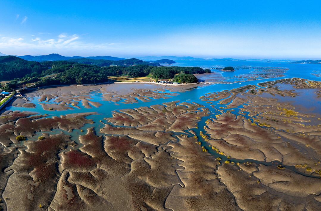
Chungcheongnam-do is building precise digital spatial information for the Garorim Bay tidal flats, where paths and waterways shift depending on the tides, utilizing drones.
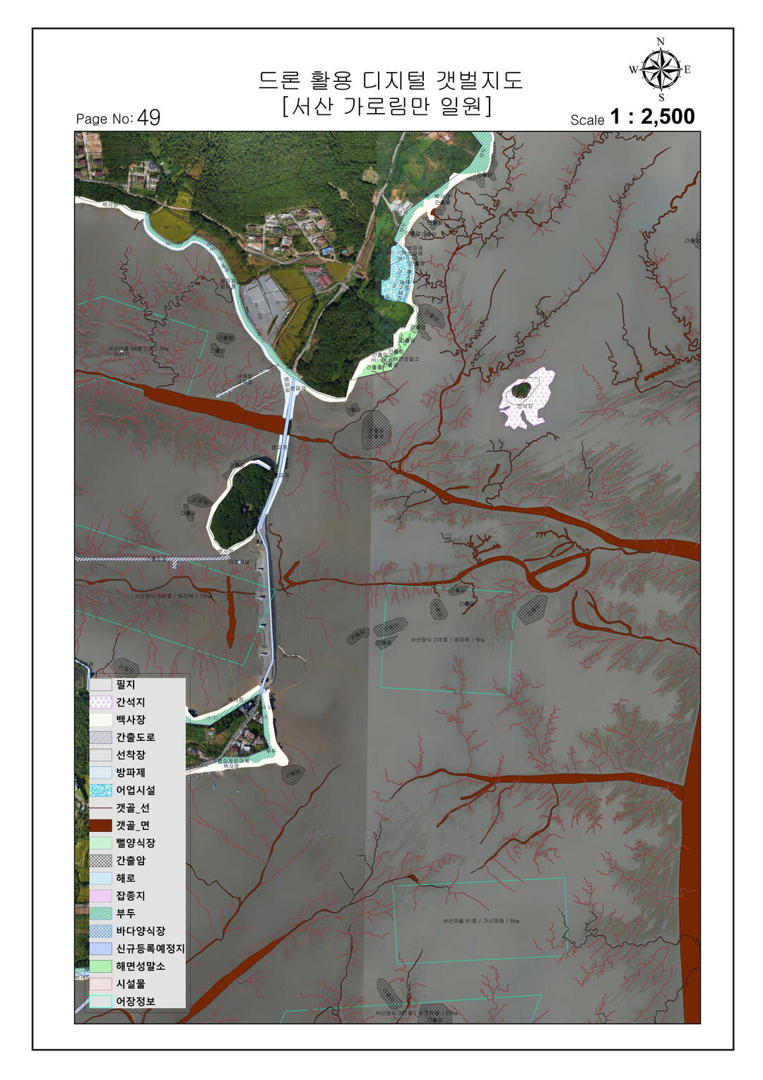
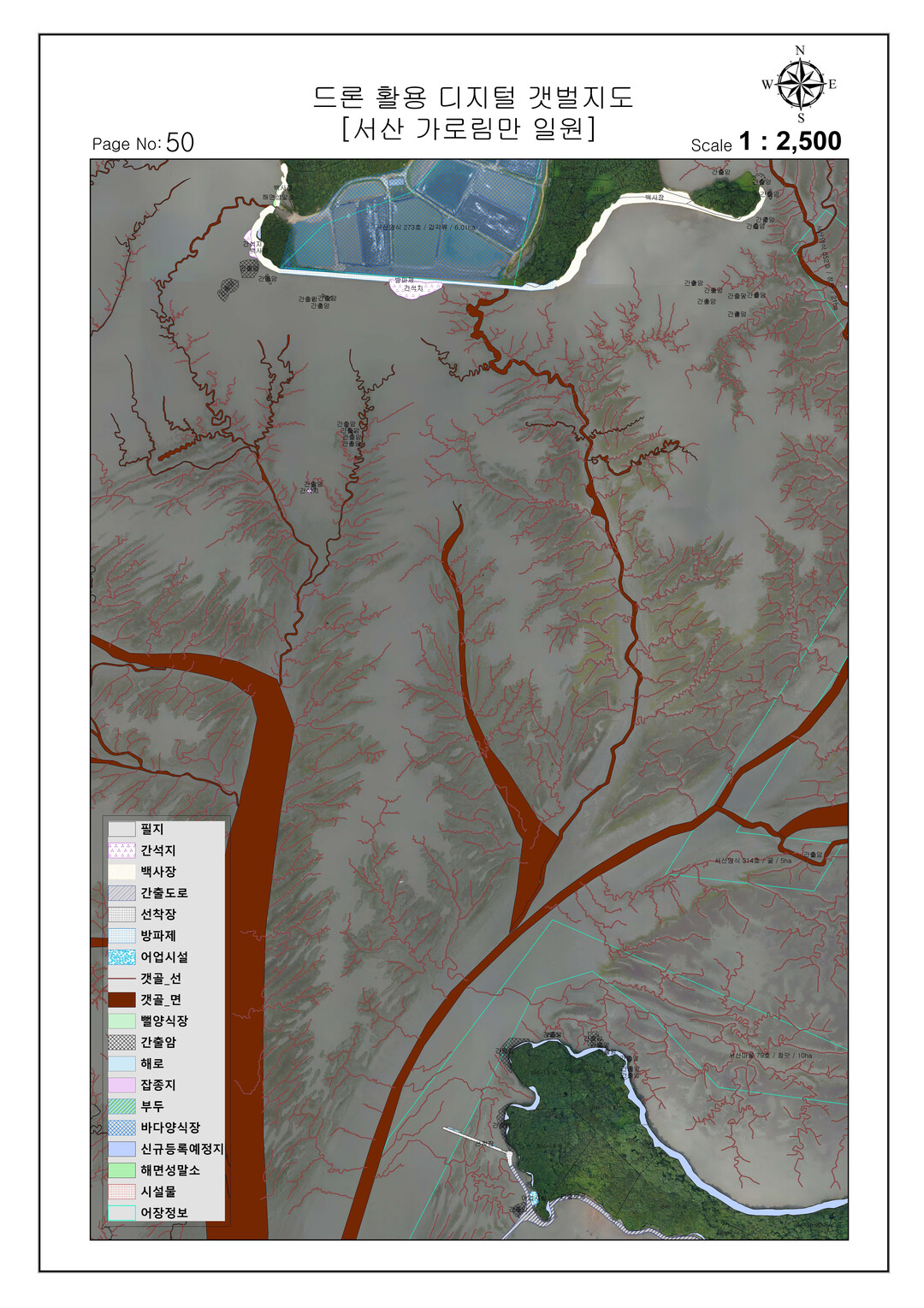
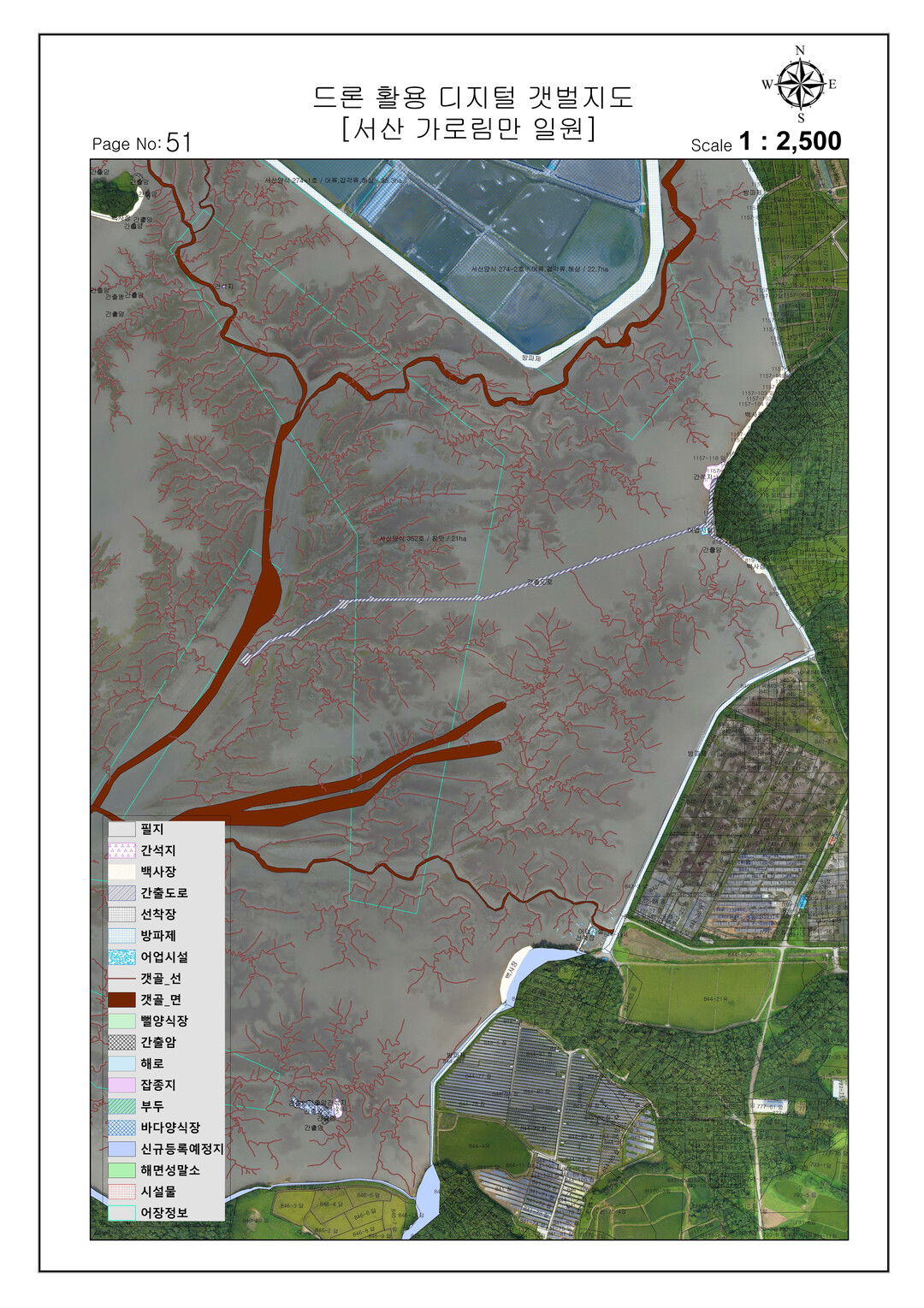
The province announced on the 14th that it is currently implementing the "Drone-Based Digital Tidal Flat Map Construction Project," which precisely photographs the Garorim Bay tidal flats using drones to build digital spatial information regarding topography and current usage status.
Because tidal flats are difficult to access and survey, and work time is restricted depending on the tides, the province directly carried out target area photography and orthomosaic production using its own drones and professional personnel. This allowed flexible operations tailored to field conditions, saving approximately 400 million won in external service costs.
The province is advancing the project step-by-step targeting Garorim Bay, which spans a total scale of 112 square kilometers, and plans to add 15 square kilometers this year to secure a cumulative digital tidal flat map of 62 square kilometers.
Notably, going beyond traditional aerial photography production, the tidal flat map is characterized by incorporating 17 types of location and attribute information necessary for tidal flat management and utilization, including:
-Mudflats (intertidal flats)
-Sandy beaches
-Exposed coastal roads
-Tidal creeks
-Aquaculture farms
The secured spatial information is currently being utilized in the marine disaster and safety sectors, and is also provided for coastal management, tidal flat ecosystem conservation, and research.
Moving forward, the province plans to expand the scope of utilization as foundational data for scientific coastal management policies, such as establishing a marine spatial digital twin.
Furthermore, based on its achievements thus far, the province plans to expand the project step-by-step to other West Coast tidal flats that have not yet been digitalized, including Seocheon.
"Tidal flats are not easy to accurately assess due to tides and topographical characteristics," said Lim Taek-bin, Head of the province's Land and Spatial Policy Division. "We will combine drones and spatial information technology to manage tidal flats as data and expand the construction of digital tidal flat maps so they can be utilized in various fields such as safety, environment, and coastal management."
[Copyright (c) Global Economic Times. All Rights Reserved.]