


Yeongcheon City wins top honors, while Pohang City and Yeongdeung-gun take excellence awards... Strengthening field response capabilities in cadastral administration
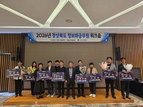
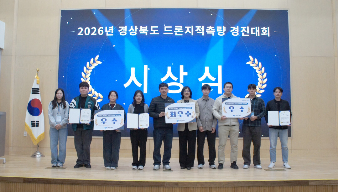
County and municipal officials in charge of cadastral surveys across Gyeongsangbuk-do recently put their practical drone-surveying skills to the test, with Yeongcheon City claiming the Grand Prize (Top Excellence Award), and Pohang City and Yeongdeung-gun earning Excellence Awards.
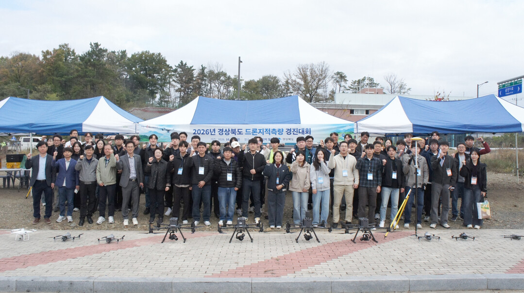
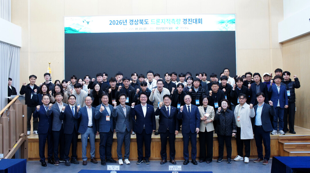
On October 23, Gyeongsangbuk-do hosted the "2026 1st Gyeongsangbuk-do Drone Cadastral Survey Competition" at the Gyeongsan Industrial Complex Complex Cultural Center in Gyeongsan. The event brought together around 100 participants, including officials from the provincial government, 22 local cities and counties, and the Korea Land and Geospatial Informatix Corporation (LX).
The competition was organized for the first time to evaluate the practical competencies of public officials and share cutting-edge technologies, responding to the growing demand for drone surveying within the cadastral and spatial information sectors.
The contest was conducted in teams of three per city and county, consisting of a primary drone pilot, a co-pilot, and a GNSS (Global Navigation Satellite System) operator. Following actual operational workflows, the participating teams carried out drone image capture, Ground Control Point (GCP) observation using GNSS, and the production and submission of orthoimages.
The panel of judges conducted a comprehensive evaluation based on the appropriateness of the drone footage and the accuracy of the survey results.
Drones are utilized across various fields, including national defense, agriculture, disaster relief, and media production. In the cadastral and spatial information sectors, they are expected to play a crucial role in enabling fast and precise surveys of large-scale development districts, building high-resolution aerial-image-based spatial information, and securing accessibility to hazardous areas and blind spots.
Park Jong-tae, Director-General of the Construction and Urban Affairs Bureau of Gyeongsangbuk-do, stated, "This competition was a meaningful occasion for municipal officials to directly execute the entire drone-surveying process and examine their practical capabilities." He added, "Moving forward, we will actively adopt cutting-edge surveying technologies such as drones to provide residents with more accurate and prompt cadastral and spatial information services."
[Copyright (c) Global Economic Times. All Rights Reserved.]