
![[등록] 2026-09-01 15:48:31](/support/_updata/banner2/tl181982910_6749.png)


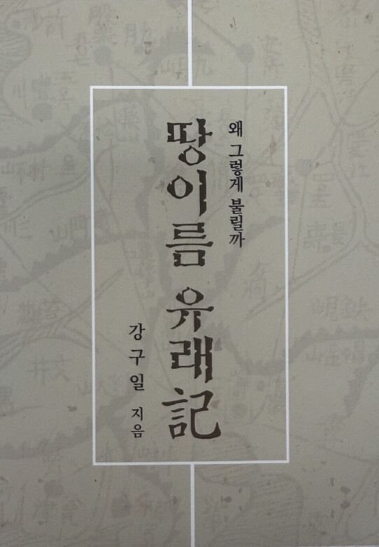
SEOUL — How often do we pass by mountains, rivers, and villages, taking their familiar names for granted without ever questioning their origins? A newly published book aims to answer this very question by diving deep into the hidden histories and geographical contexts embedded in everyday Korean toponyms.
Kang Ku-il, a 70-year-old former journalist with a background in history from Chungnam National University, has released 'Ttang-ireum Yurae-gi' (An Account of the Origins of Placenames). Drawing on a career that spanned over a decade in journalism and a lifelong fascination with local geography, Kang spent years traveling across the country, meeting local residents, reviewing historical literature, and conducting rigorous field research. The resulting book explores 40 distinct thematic categories of Korean placenames, shedding light on widespread misconceptions.
Debunking Common Misconceptions About Local Names
One of the core premises of Kang's book is that many Korean placenames are frequently misunderstood due to misleading similarities with animals, everyday objects, or superficial Hanja (Chinese character) interpretations.
For instance, names containing animal references often have entirely different etymologies. "Yeouinae" (literally meaning fox stream) does not mean that foxes historically roamed the area in abundance. Similarly, "Norumok" (meaning roe deer neck) has no actual relation to roe deer, and popular peaks named "Maebong" (hawk peak) or "Sirubong" (rice cake steamer peak) are generally disconnected from hawks or steamers. Even prefixes like "Kkachi" (magpie), "Mal" (horse), or "Gae" (dog) are frequently misinterpreted if analyzed strictly through literal animal definitions rather than historical topography and linguistic shifts.
Through meticulous on-site verification, Kang demonstrates how these names evolved from specific geographic shapes, historical events, or linguistic transformations over centuries.
A Labor of Love Grounded in Fieldwork
Kang’s journey toward writing this book began in his childhood in Okcheon, North Chungcheong Province, where he first developed a curious eye for the names of local hills and streams. As a reporter, he actively collected literature, academic papers, and local lore regarding regional naming conventions. Rather than writing an impenetrable academic treatise, Kang intentionally designed the book to be accessible to the general public.
Each of the 40 chapters is enriched with vivid field photographs and comparative analyses across various regions in South Korea. This structure allows ordinary readers to directly bridge the gap between abstract maps, modern landscapes, and the historical narratives embedded right outside their windows.
"Rather than a dense, specialized research text, I wanted to create a book that helps everyday readers genuinely understand the names of the towns, mountains, rivers, and fields where they live," Kang said. "I hope to show that even the most ordinary placenames we pass by carelessly carry unique meanings and rich stories of their own."
Media critics and local culture enthusiasts have praised the book as a valuable cultural asset that bridges journalism, historical preservation, and public education. By combining a reporter's eye for detail with a historian's dedication to truth, Ttang-ireum Yurae-gi invites readers nationwide to look at their surroundings with fresh curiosity and a deeper appreciation for Korea’s cultural geography.
[Copyright (c) Global Economic Times. All Rights Reserved.]